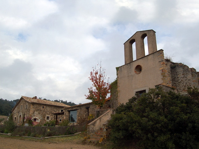
Ruta de Caulès
Municipality: Lloret de Mar
Distance: 28,92 km (there and back)
Approx. time: 7 h
Type of route: Semicircular
Level of difficulty: Difficult
Cumulative vertical distance uphill: 567 m
Cumulative vertical distance downhill: 567 m
Tracking marks: Yellow
The Caulés Route covers some considerable distance as far as the municipal boundary of Lloret de Mar, a lengthy itinerary taking in Mediterranean woodlands of holm and cork oaks and other species and traversing the Puig de Montgrós Hill, offering fine views of the whole district. The route ends at the hermitage of Santa Susanna de Caulés. Keep in mind that this is a 28,92-kilometre long trail, so make sure you are wearing comfortable shoes and bring water and food. Signposted with paint marks and vertical directional signs.
| Ruta de Caulès |


