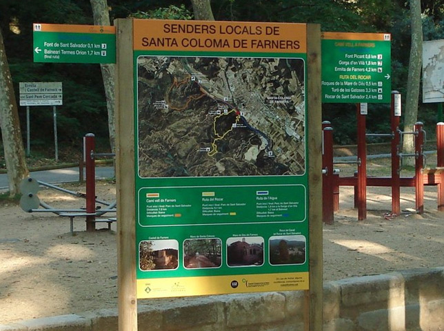
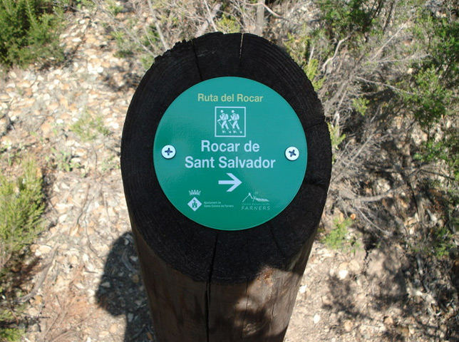
Ruta del Rocar
Municipality: Santa Coloma de Farners
Distance: 5,46 km
Approx. time: 2 h
Type of route: Circular
Level of difficulty: Medium
Cumulative vertical distance uphill: 270 m
Cumulative vertical distance downhill: 270 m
Tracking marks: Yellow
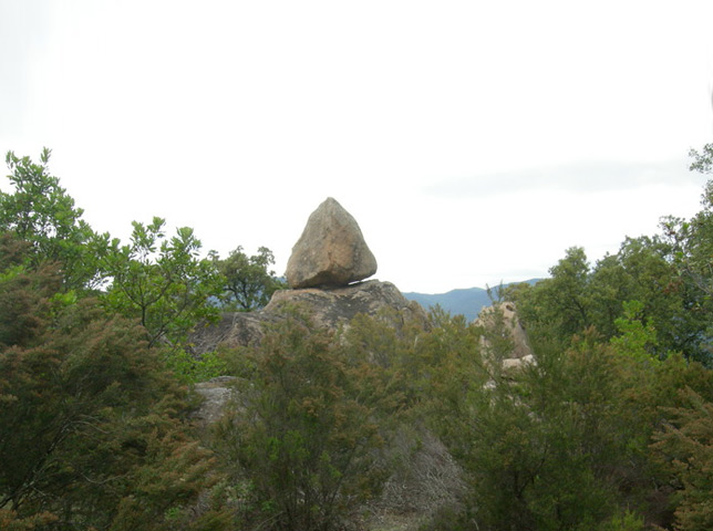
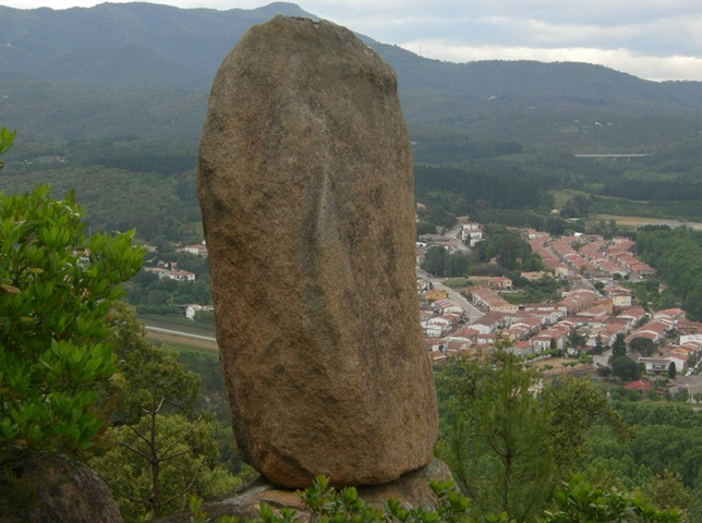
Circular route that runs along the walk source “Picant” Park San Salvador, before upload to the mountain slopes of this park. This itinerary will climb up the hill of the “Gatoses” (optional) and then down the rocar of San Salvador, where you will find different rock formations with very particular ways. The descent ends at the famous “Fountain of San Salvador”, a few meters from the starting point.
This route has a variant also marked with the name “variant rocar” you will find detailed in the same descriptive.
Further information:
| Ruta del Rocar |
| Link Rocar Route Water Route |


