Ruta de la Tordera
Municipality: Blanes
Distance: 7,58 km
Approx. time: 2 h
Type of route: Circular
Level of difficulty: Easy
Cumulative vertical distance uphill: 12 m
Cumulative vertical distance downhill: 12 m
Tracking marks: Red
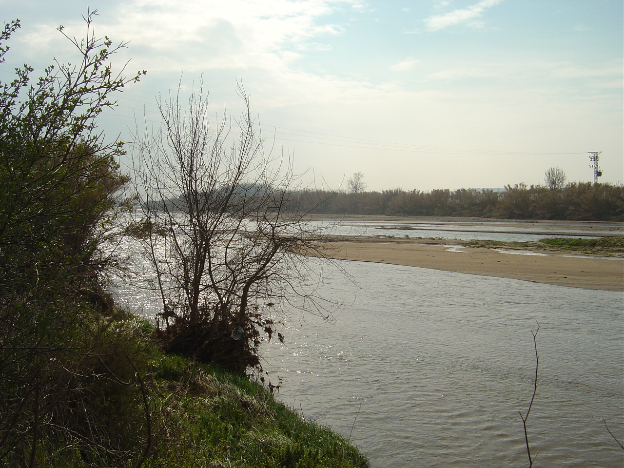
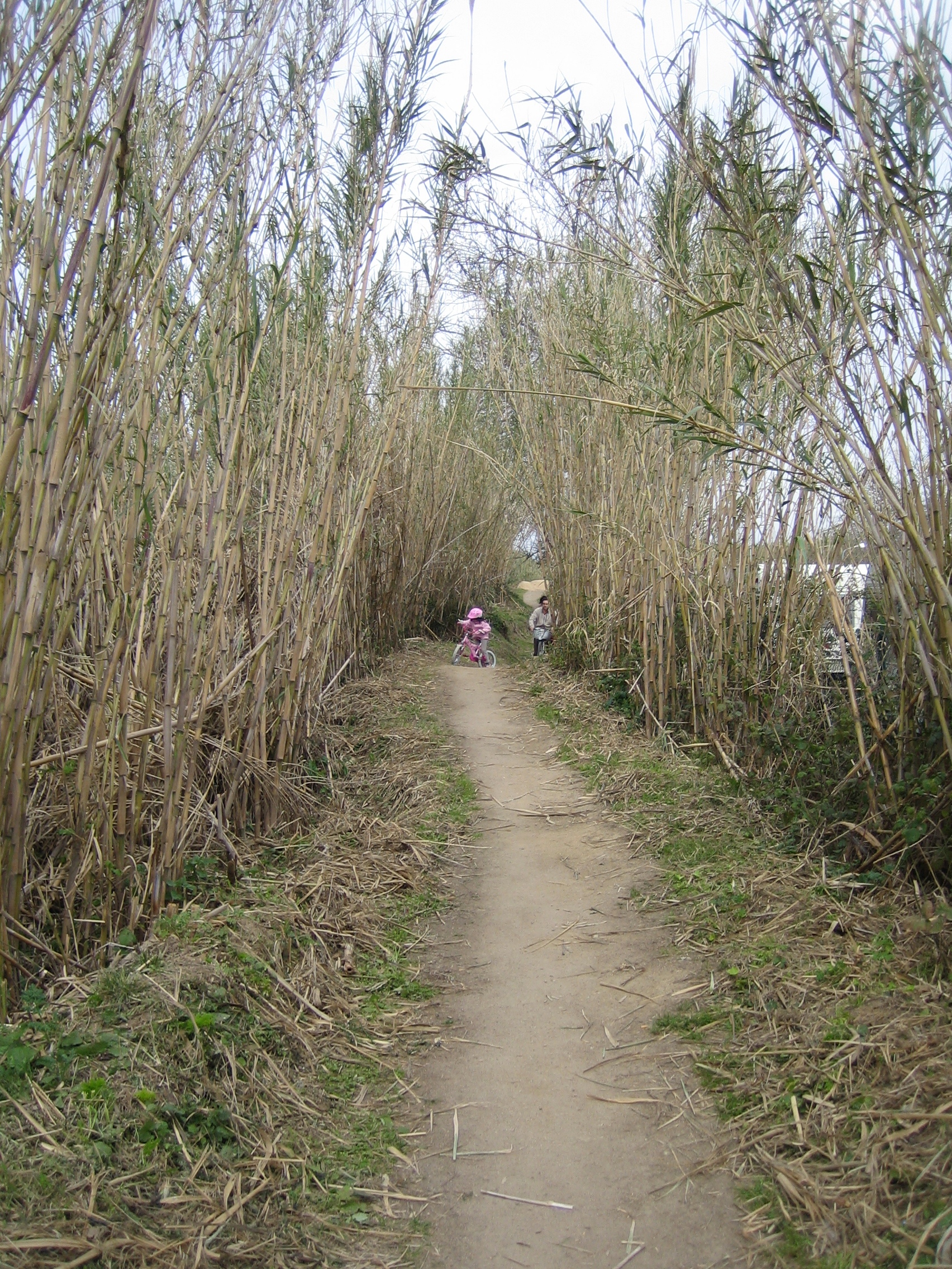
This short and very pleasant route starts at Avinguda de Madrid, about 300 metres from S’Abanell Beach. It’s an easy and completely flat route along a forest track.
The track runs parallel to the Tordera River before entering the unique agricultural landscape of the Lower Tordera, an important natural area boasting a wide variety of farming and ecological ecosystems thanks to its excellent Mediterranean climate.
Signposted route with directional signs and route markings (red painted strips).
Further information:
| Ruta de la Tordera |


