L’ONYAR TRACK
Distance: 19,81 km
Type of route: Linear (The route can be done in sections)
Level of difficulty: Moderate
Cumulative vertical distance uphill: 79 m
Cumulative vertical distance downhill: 227 m
Tracking marks: Yellow
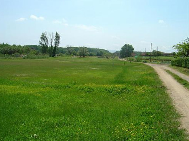
The Onyar Track is a walking route across the plateau of La Selva, following for a part of the way the course of the River Onyar, and passing through such villagers as Brunyola, Sant Dalmai, Salitja, Vilobí d’Onyar, before arriving at Riudellots de la Selva. The route is 19 kilometres long, and passes through a varying landscape of Mediterranean woodlands, level farmland, the wooded banks of the Onyar, etc. Simply follow the signposts and marker stones, except for a short section prior to Riudellots de la Selva, where you will need to follow the yellow and blue markers of the Via Augusta.
We suggest covering the route in just one day, heading out from Brunyola, where you can visit the Castle and the church of Sant Fruitós, although without dallying as there is a long walk ahead. Before arriving in Sant Dalmai the track runs alongside the Onyar, its banks particularly refreshing during the summer months, the perfect spot for a rest. The section running through the Reedbeds district is also of interest, with the hermitage of Mare de Déu de les Fonts, the old mill and pond, the Meadows, etc. Continue via Salitja as far as Vilobí d’Onyar, where you could head into the village, while bearing in mind that there are still 9 km to cover before reaching Riudellots, walking mainly through farmland.
| See the whole track |
| Brunyola – Vilobí d’Onyar | ||
| Vilobí d’Onyar – Riudellots de la Selva | ||
| Riudellots de la Selva – Vilobí d’Onyar | ||
| Vilobí d’Onyar – Brunyola |


